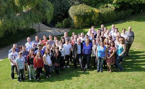
Our People
Find out more about our students, alumni, teaching staff and board members.
The EPSRC Centre for Doctoral Training (CDT) in Web Science Innovation is part of a £250 million investment in the future of UK science and technology by the RCUK Digital Economy Programme, providing fully funded studentships for PhD training in Web Science.
Southampton has had a significant role in the creation and development of the Web and the foundation of the discipline of Web Science, and we are committed to ensuring that we pass on our expertise to the digital leaders of the future through our CDT in Web Science Innovation.
The four year integrated iPhD is an interdisciplinary programme which aims to equip graduates with socio-technical expertise to become leaders in the Digital Economy. The programme combines Masters and doctoral study with additional tailored training and collaboration with partner organisations.
We aim to train students in a thorough understanding of how to:
Our current students have degrees in many different disciplines: Law, Computer Science, Sociology, Psychology, Education, Graphic Design, Archaeology, Management, Politics, International Relations, Economics, Geography, Natural Sciences, Physics, Marketing, Criminology, Theology, English, Film and Languages, Mathematics, to name a few. Their academic supervisors come from across the whole University
Find out more about our students, alumni, teaching staff and board members.
We provide Web Science students with a range of training opportunities to develop their academic and personal skills as doctoral researchers and to prepare them for their future careers.
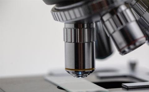
Find out about the wide range of web science related research carried out by our students.

Hear how our interdisciplinary training has shaped our students’ research and careers.
.jpg_SIA_JPG_fit_to_width_MEDIUM.jpg)
Discover all the latest news and events from the Web Science CDT.
Discover more about who we are and what we do in our brochure.

We collaborate with industry, government and other organisations on a wide range of activities that focus on key research areas and our students’ academic and professional development.

If you are interested in finding out more about us or would like to become involved please contact us.
I had an amazing time doing my Web Science PhD as I had the privilege of working with some amazing people. It really showed me the value of interdisciplinary projects and taught me how to appreciate the skills and approaches of disciplines outside my own.